Forest License
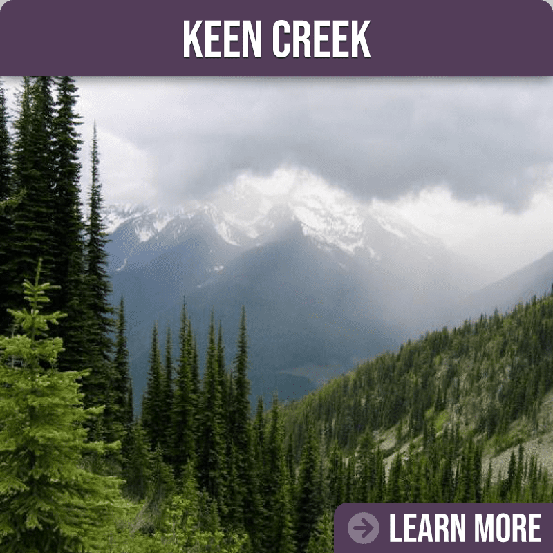
The KDCFS area based license lies within the Kootenay Lake Timber Supply Area. Its boundaries delineate a gross area of 32,416 hectares (ha), of which roughly 19 percent are mountain tops and alpine tundra and 81 percent are forested. Roughly 10,681 ha of the forested land are considered the “working forest”. The Community Forest license has an annual allowable cut (AAC) of 25,000 m3. Elevations range from 640m at Kootenay Lake to 2300m in the alpine. Climbing from Kootenay Lake to the alpine, a hiker will traverse three Biogeoclimatic zones within a steep topography formed by glaciation. The process left stepped slopes dissected by steep stream channels scoured to bedrock. Wells Terrain Report
Our temperate interior rain forest contains highly diverse ecosystems. Tree species within collectively are often referred to as the “Kootenay Mix” which contains: Douglas-fir, subalpine fir, Engelmann spruce, western hemlock, western larch, western red cedar, lodgepole pine, white pine, birch, aspen and cottonwood trees. Alpine Larch, whitebark pine may mix with Engelmann spruce and subalpine fir in the alpine tundra.
Harvest planning on the complex and rugged landscape requires thoughtful and respectful stewardship balancing biodiversity, cultural values and economics within the laws and regulations of the tenure.
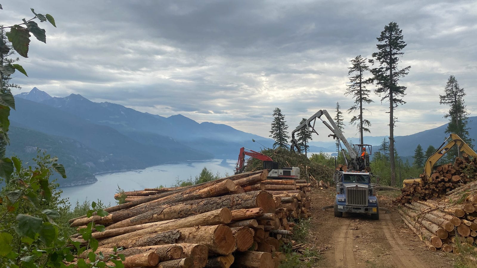
Steep slopes and sensitive soils predominantly demand the use of expensive cable systems. Log transport requires highly skilled operators on steep and windy mountain roads, especially during winter harvest.
The zones delineate elevation bands with markedly different climate, affecting vegetation, soils and nutrient cycling and are named for their characteristic old growth tree species: the Interior western Cedar – western Hemlock zone (ICH) extends from the lakeshore to mid-slope elevation and transitions into the Engleman Spruce – Subalpine Fir (ESSF) zone, which extends up to the Alpine Tundra above.
The license operates under a Forest Stewardship Plan (FSP), an operational level plan with landscape level objectives. It defines strategies to conserve and protect timber and other natural resource values while undertaking forest activities. The FSP contains requirements for the notification of the public, First Nations, and government agencies where primary forestactivities will be taking place and provides a process to identify areas of concerns prior to field work. It also states the results, strategies or measures that the forest licensee will achieve in order to be compliant with government objectives for forest values. Eleven forest values identified by government are: soil, timber, wildlife, fish, water, biodiversity, cultural heritage resources, resource features, recreation resources, visual quality, forage and associated plant communities.

