Woodlands, Safety, Silviculture & Wildfire Risk Reduction
Mission Statement
The Kaslo and District Community Forest Society (KDCFS) will manage the diversity of values of the Community Forest in an ecologically responsible and fiscally accountable manner on behalf of the people of Kaslo and Area D.
A. Woodlands
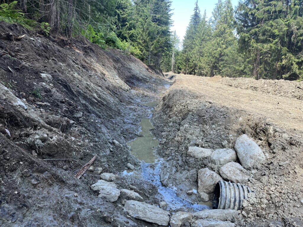
Lost Ledge Road Upgrades
Sunshine Logging is upgrading the Lost Ledge road from Lost Ledge Creek down to the bench. Some sections contain clay soils, which can create mucky surfaces when wet. Improvements include a larger ditch and culverts to help with drainage. Overlanding (adding more suitable road-building material on top) may still be required to improve road durability.
Timber Development – Lost Ledge
Two blocks have been developed so far, with at least two more planned. The stands are a mix of hemlock and larch, with some cedar, spruce, and Douglas fir. While most of the harvesting will be conventional, some cable areas will be included.
- Estimated total volume: 23,000 m³
- Old Growth: Remaining old growth from past fires will be protected either by exclusion from the blocks or inclusion in Wildlife Tree Retention Areas (WTRAs).

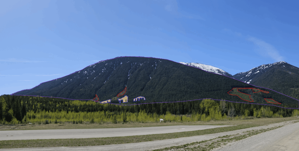
New Forest Operations Map (FOM)
The Forest Operations Map for CP 56 (True Blue area) is now available online for public comment from July 31 – August 31 and will be promoted on the KDCFS website, Instagram and Facebook pages. The Visual Impact Assessment (VIA) shows the block will be visible only from the corner of A Avenue and Washington Street in Kaslo, as well as from the dump road. Although modelled as a clearcut, it will retain a mix of single tree and group retention. You can view the map here.
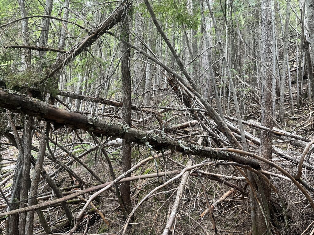
Lardeau Project – Fuel Management
A FESBC grant will fund:
- 14 ha manual thinning
- 6 ha mechanical treatment (feller buncher)
The project area stretches from near Lost Ledge campground north to Davis Creek, following the highway and BC Hydro power line. The goal is to reduce fuel loads and improve access along the old mining road in case of wildfire ignition from the highway or a powerline hazard. Timber harvesting is planned for fall 2025, with manual WRR work extending into the winter.
CP 47-1 – Branch 7
FESBC-funded thinning and post-harvest cleanup are scheduled to begin within a month. The work, led by Timber Ridge, will take approximately six weeks.
- Overdense hemlock understory will be removed
- Merchantable fiber will be sent to the pulp mill (incremental haul grant accessed)
- Sawlogs sold to local mills
- Stand conversion to Douglas fir and larch for improved fire resistance and climate adaptation
Road Maintenance – 7-Mile Road
KORTS, with contractor Steve Doucet, is brushing and repairing waterbars. KDCFS is contributing to maintenance costs. The upper 7-Mile road is now passable by pickup truck after significant brushing.
B. Safety
No safety incidents reported from road work or timber development activities.
C. Silviculture
Craig Barschel is conducting silviculture surveys across the license area, including regeneration, free-to-grow assessments, and block walkthroughs to plan future treatments.
RESULTS reporting and waste survey planning for 2024 and 2025 harvesting are underway.
D. Wildfire Risk Reduction
Cathro Consulting is developing the Fuel Management Prescription for CP 47-1, expected to be completed in August. Work will commence immediately afterward.
Progress continues toward approval of CP 55 (Lardeau) so operations can begin in fall 2025.
 May 2025 General Board Meeting Updates