Water
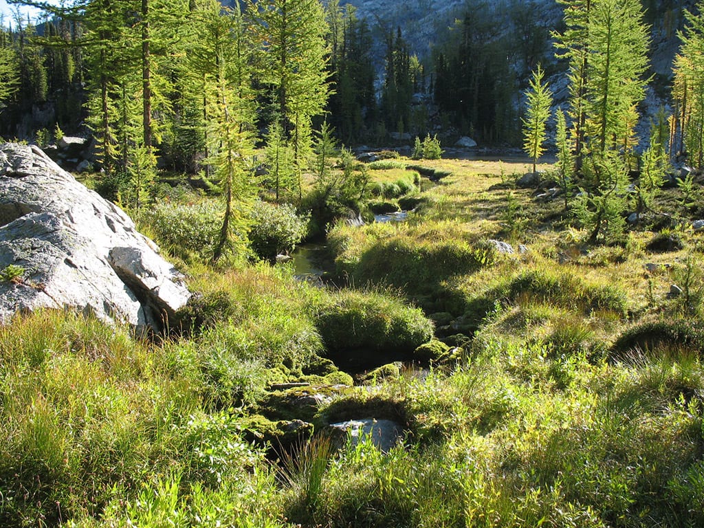
Domestic and Community watersheds comprise approximately 12,500 ha, or 38% of our license area. The integrity and maintenance of our numerous mountain streams supplying drinking water into our backyards place at the top of our management concerns. This is reflected in the KDCFS’s Watershed Policy. The community and urban interface within the tenure shelters many privately licensed water intakes along creeks, seeps and springs.
The KDCFS has been monitoring the impacts of watershed disturbance on water quantity on a sporadic basis since its inception during the late 1990s (Water Resources Inventory Report). Over the years the community and local watershed groups participated in Interior Watershed Assessments and in 2008 the monitoring stations were upgraded and regular annual monitoring was initiated, designed to measure the long-term impacts of watershed disturbance (e.g. forest development, wildfire, forest pests) and climate change on water supply within the KDCFS management area (Water-Monitoring-Framework). During 2016 the program transitioned from the Kaslo and District Community Forest Society into the dedicated North Kootenay Lake Water Monitoring Project (a name change from Area D Water Management Board). At that time, the Scientific and Technical Advisory Group (STAG) supported increasing the number of streams being monitored to seven by adding Gar Creek in Johnson’s Landing and nearby Kootenay Joe Creek, which in effect is a partnership with the Ministry of Forests, Lands and Natural Resource Operations (FLNRO) who monitor the Johnson’s Landing landslide area, and supplied equipment for that stream monitoring.
Community watersheds: Bjerkness, Fletcher, Lofstedt, Kemp, McDonald, Brooks, Davis Creeks.
Domestic watersheds: Shutty, Milford, Jacobs, Zwicky, Sylvan Creeks These watersheds were designated under the Forest Practices Code, and are grand-parented under Section 180 of the Forest and Range Practices Act.


