Wildfire Planning
The Kaslo and District Community Forest Society (KDCFS) in 2018 was granted $50,000 from Forest Enhancement Society (FES) funding to complete a Landscape Level Wildfire Plan (LLWP) within its K3C tenure. This planning was undertaken in the wake of some of the largest and fiercest wildfires in recent British Columbia history. The immediate loss of lives and ecological and economic hardship for central and northern BC communities is followed by years of restoration efforts at great cost.
The events are widely recognized as a threshold in a changing climate; indeed, many countries around the world are in the same predicament. Governments, scientists, land managers and communities are questioning prevailing landscape management practices while exploring climate models to help define strategies and timelines.
The Landscape Level Wildfire Plan is guided by the Provincial Strategic Threat Analysis and is a planning tool to implement strategic fuel treatment areas in the Community Forest tenure to:
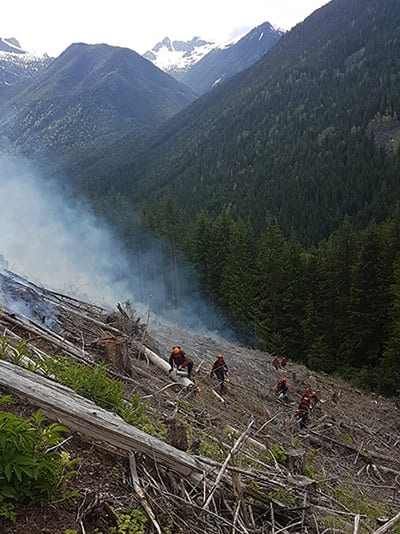
- improve safety for fire suppression crews and lives at risk through fire behaviour modification
- reduce fire severity, mitigate negative impacts to the ecosystem and improve resiliency for life sustaining processes
- manage to engage natural forest disturbance regimes as appropriate under dynamic environmental and climatic site conditions.
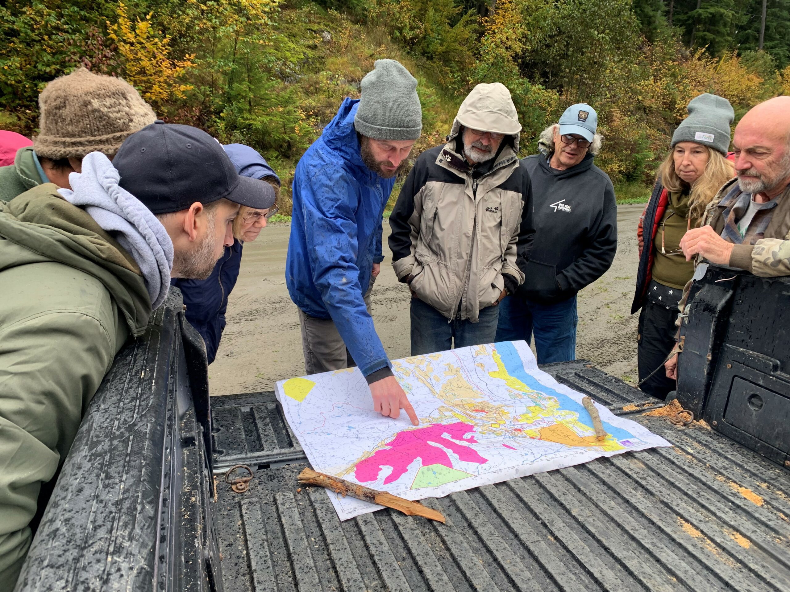
The KDCFS has prioritized wildfire planning throughout 2018 and 2019. Planning priorities were given to the achievement of immediate benefits in forest fire suppression and crew safety while fuel treatment projects will be implemented over the next years. The strategy was to positively impact the largest area possible at the most affordable cost which translated into: speed of first response, known ground access and reliable water source during fire season. The field sourced information included specific site data and potential Safe zone sites and was mapped on a Slope/Aspect Matrix map to introduce topography and climate variables.
Sixty-two percent of the tenured area are contained on slopes in excess of forty-five percent and sixty-seven percent of these slopes occur on warm to hot aspects. Less than thirty percent of the tenure are road accessible. Fuel treatment costs are high and shaded fuel breaks are difficult and dangerous to establish with cable harvesting systems. Risk reduction planning has the potential for negative outcome due to the complex influences of topography and climate. It therefore must be guided by ecology and interpretation of current and future natural disturbance dynamics. To be effective, all phases of operational forest management must be consistent in addressing wildfire risk.
Resources:
| Title | File Type | Categories | Link |
|---|---|---|---|
2020 KDCFS Landscape Level Wildfire Plan | Wildfire Planning | ||
Milford/Davis Creek Landscape Level Wildfire Plan – 2019 Map | Wildfire Planning | ||
Cooper/Davis Creek Landscape Level Wildfire Plan – 2019 Map | Wildfire Planning | ||
Bjerkness/Kaslo/Shutty Landscape Level Wildfire Plan – 2019 Map | Wildfire Planning |

