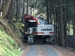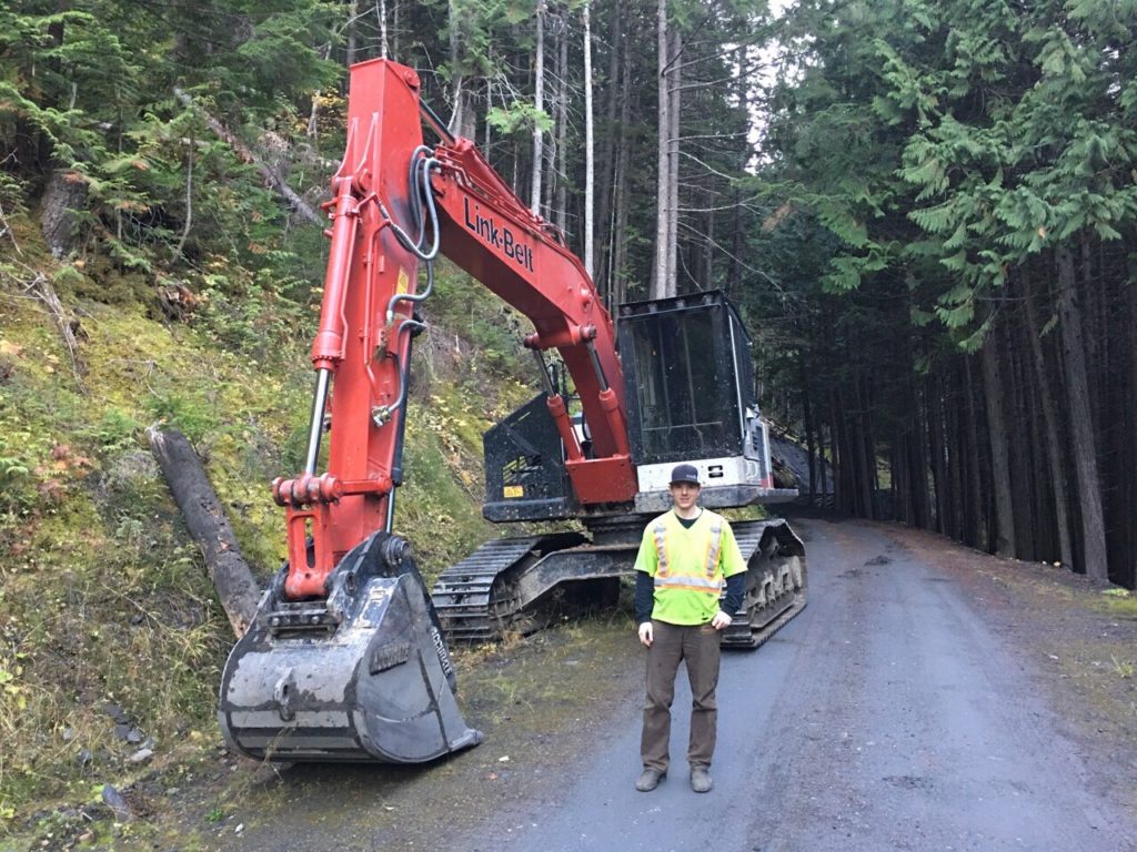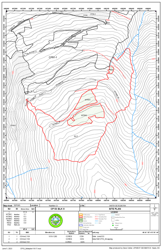
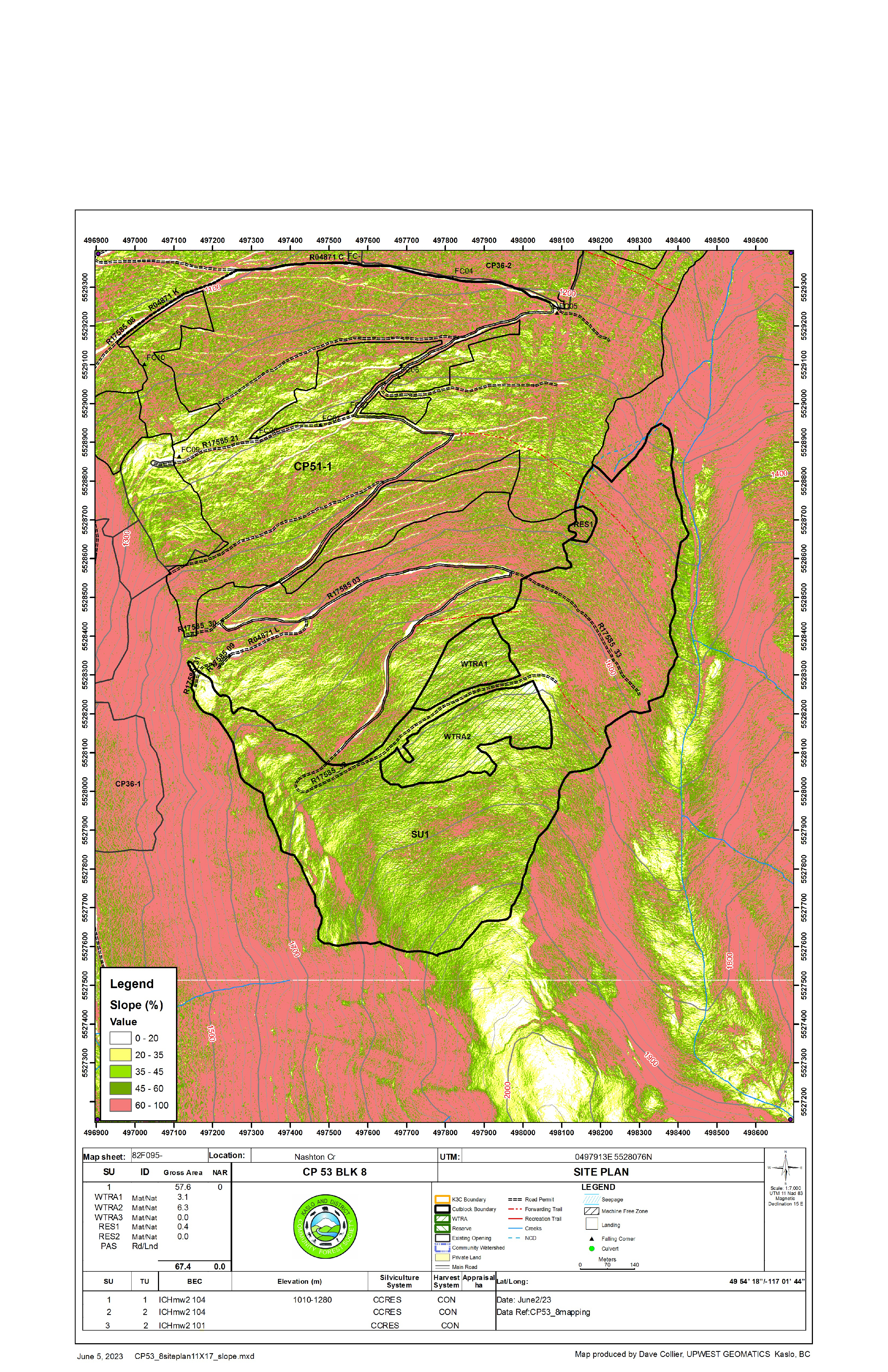
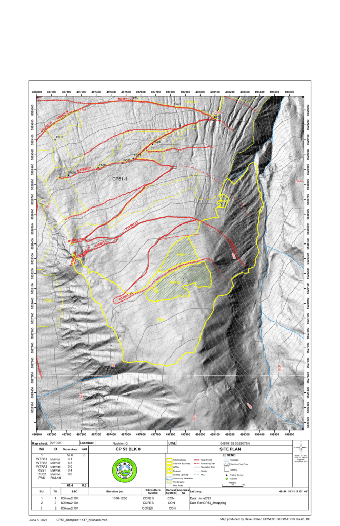
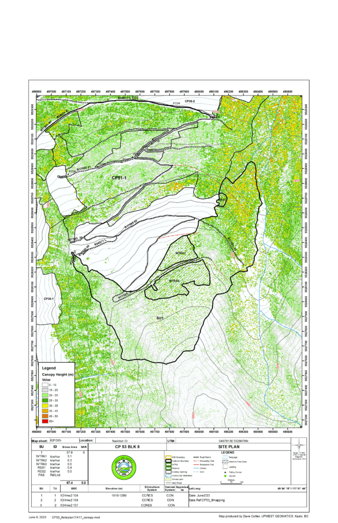
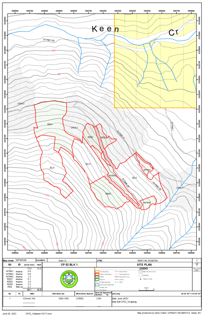
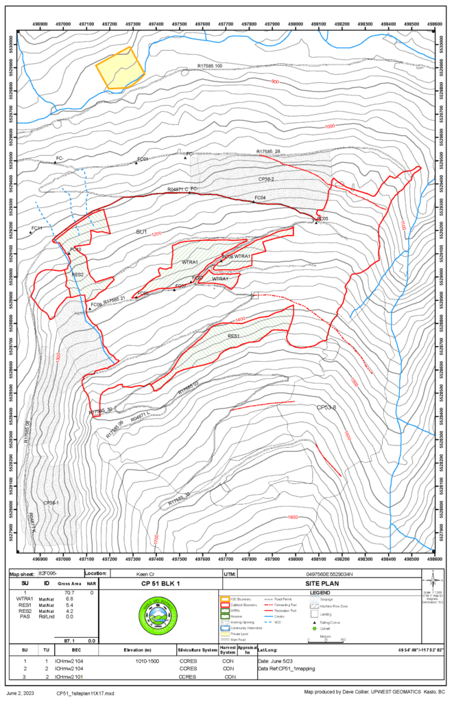
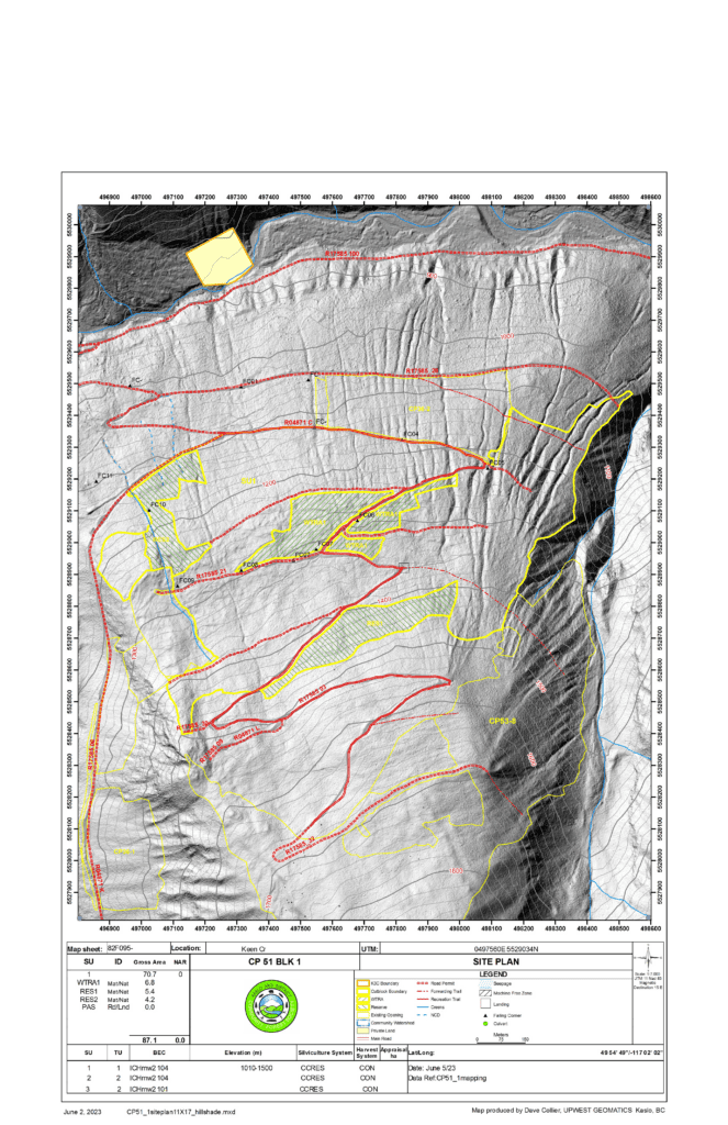
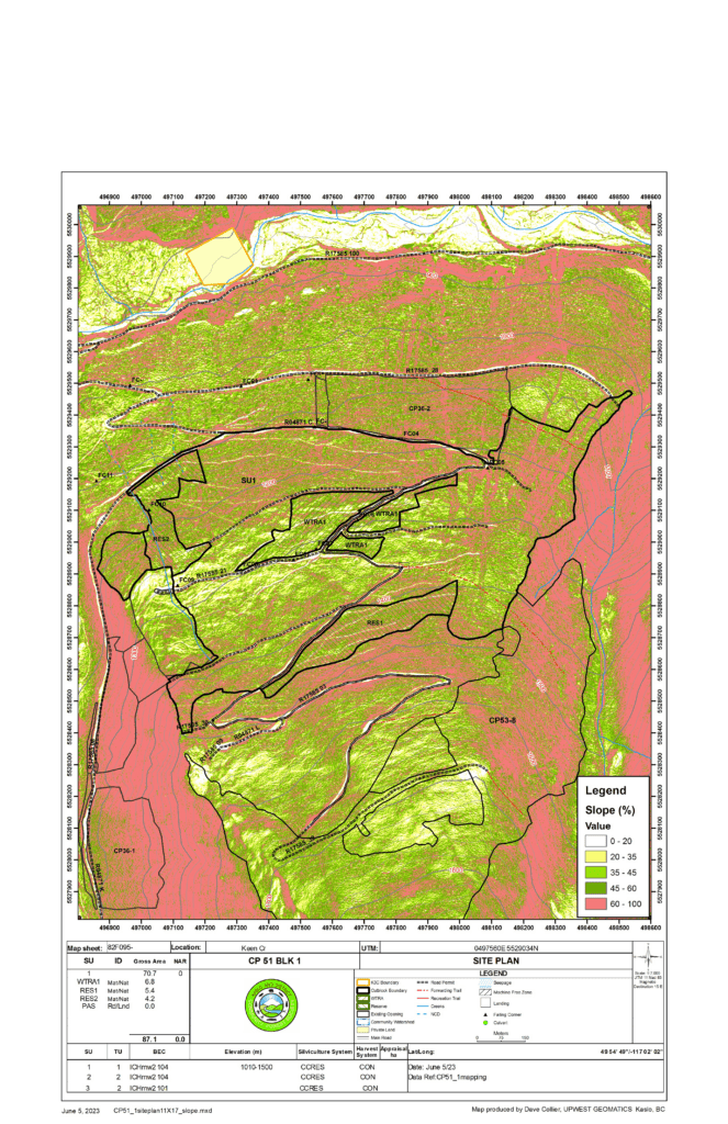
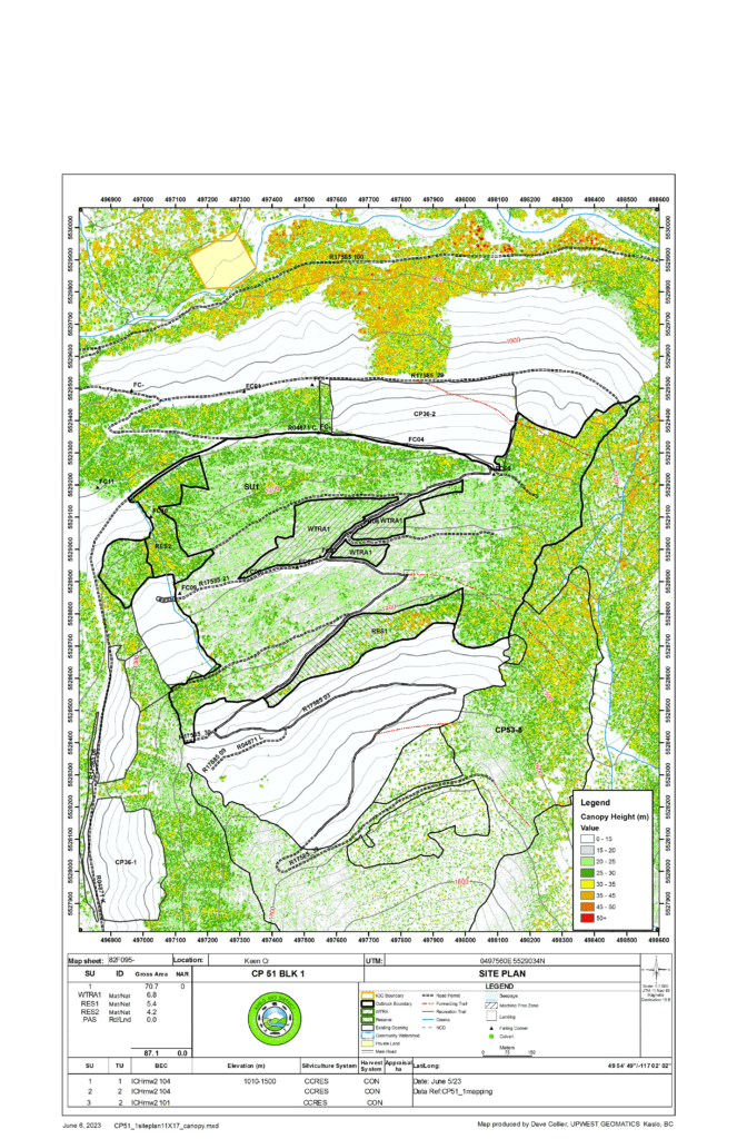


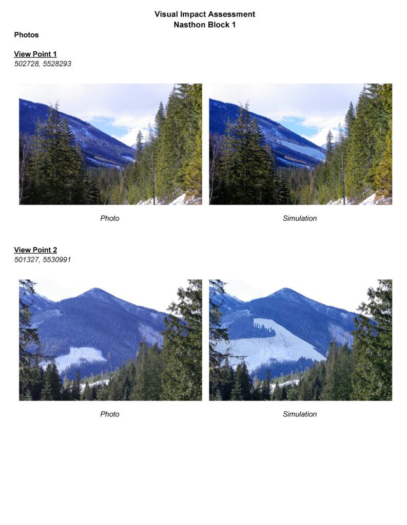
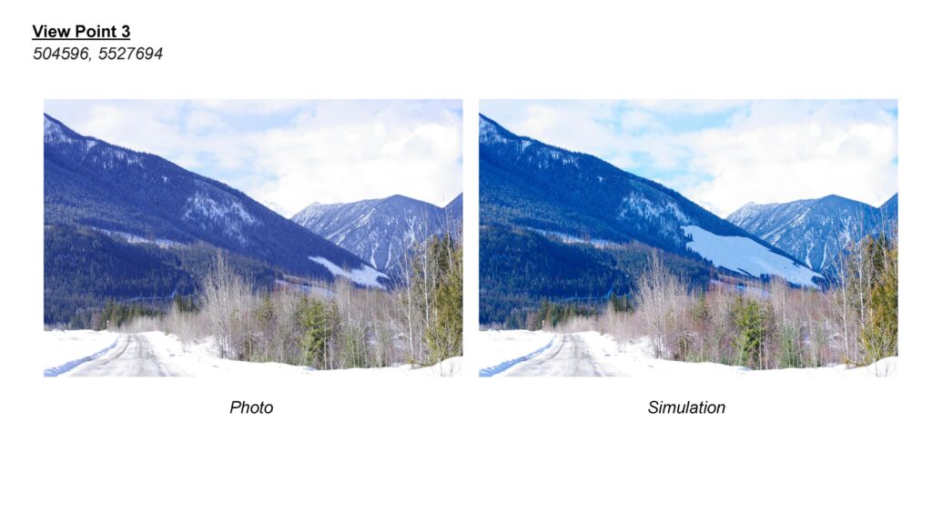
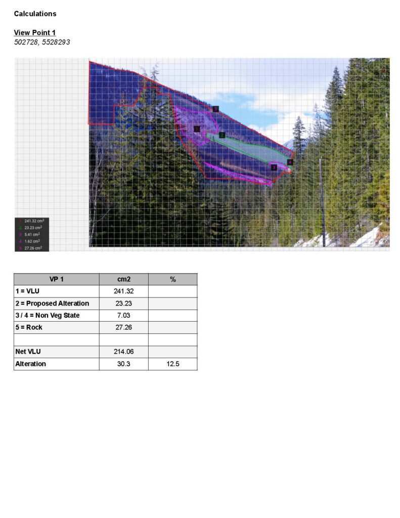
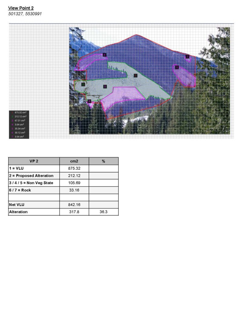
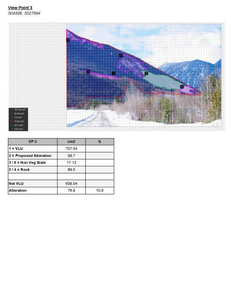
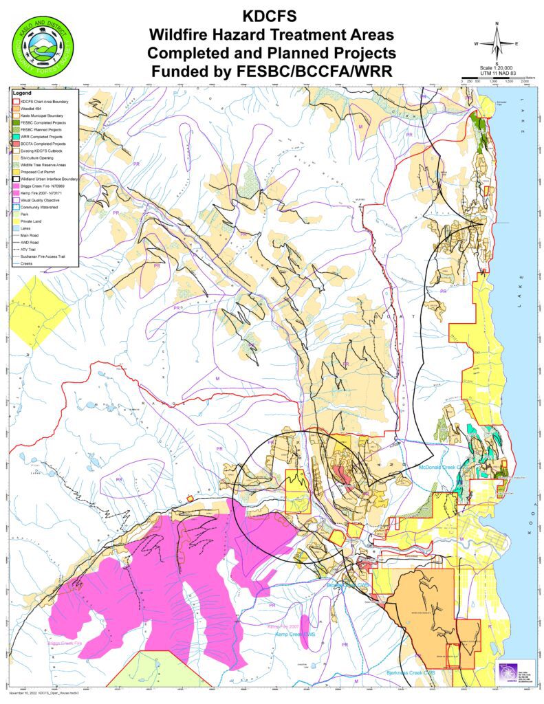
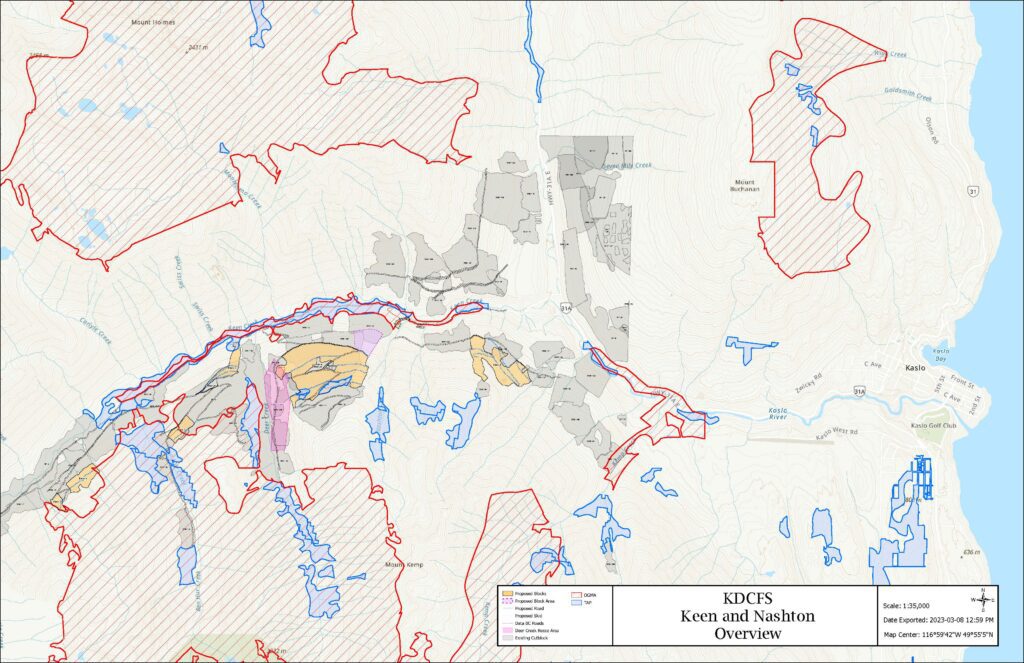
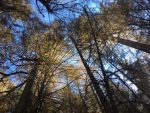
KDCFS has developed several blocks on the Nashton Face behind the Kaslo dump and in Keen Creek to harvest timber damaged from the Briggs Creek wildfire. The block locations can be seen on the overview map. The Briggs Creek fire burnt area as well as our fuel mitigation projects can be seen on the Briggs – Fuel Mitigation Projects map. The Nashton Face block will be visible from the Kaslo airstrip and dump, and also from a few spots on Hwy 31. The Visual Impact Assessment shows how the proposed block will look from each viewpoint, with View Point 3 being from the road beside the airstrip and the other two viewpoints from Hwy 31. The block is 30ha in size and is cable ground, with a mix of hemlock, fir, cedar, larch and spruce. The pictures below show this block, which is typical for the whole area of the Briggs Creek Fire, with the ground scorched down to mineral soil. In some areas the trees are dead already with the remaining trees expected to die over the next summer or two.
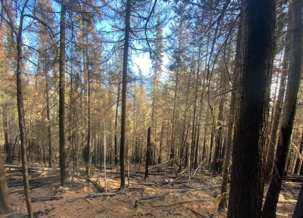
The fire has devastated the Keen and Nashton Face area and we will do our best to salvage the dead and dying timber before it deteriorates, with an estimated 60,000m3 being harvested over the next two years. Prior to developing the blocks, overview planning identified stands and patches of live trees, a mosaic of intact unburnt and burnt patches, and landscape level connectivity of residual trees to be retained for habitat, hydrologic function and other values. The blocks developed target stands of timber that are 100% affected by fire but are operable and salvageable.
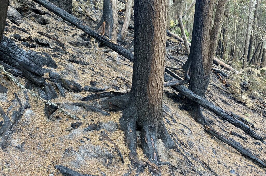
Harvesting these areas will minimize impacts to timber supply by shifting logging from un-damaged stands to damaged stands to recover as much value as possible before the wood quality deteriorates. It will also help restore the ecosystem through planting, speeding up the natural recovery process at the stand and landscape levels. In an effort to balance the need for ecological conservation, unburnt areas, snags, coarse woody debris, as well as individual and patches of live trees will be retained on site to provide structural characteristics and biodiversity.
Road building and harvesting of the Nashton block is expected to commence in June and will be completed by Sunshine Logging. Timber Ridge Contracting will commence harvesting in Keen Creek in June. Comments and questions can be directed to manager@kaslocommunityforest.org
Fall harvest operations have now resumed in 2 of our CFA locations: Keen Creek CP51 and Cooper Face CP48.
Keen Creek CP51
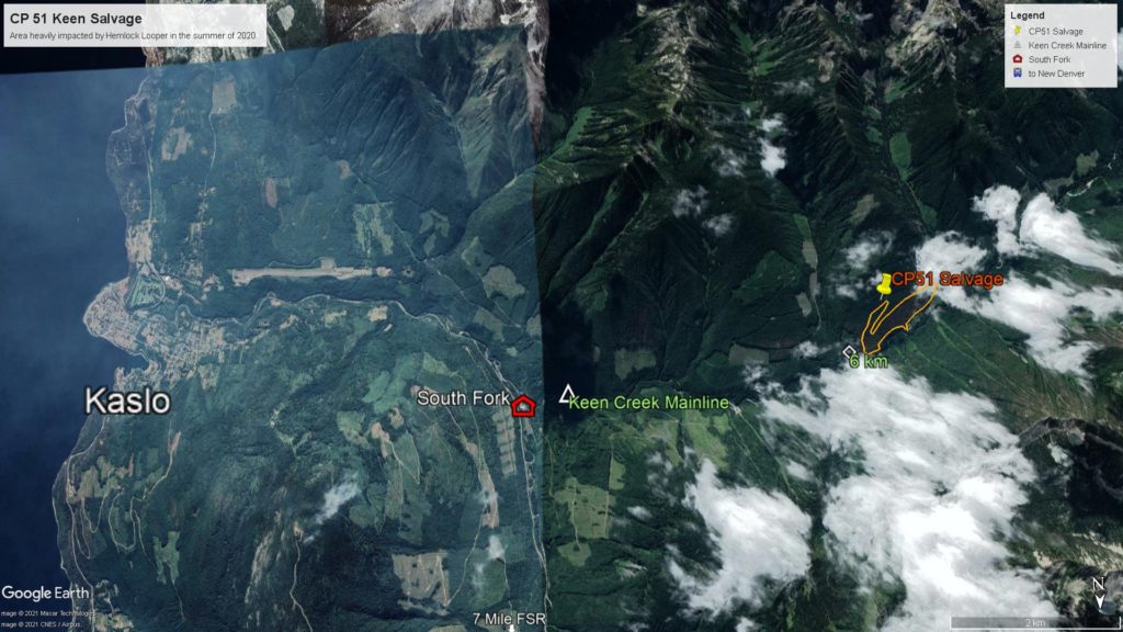
Timber Ridge Contracting Ltd (Shane McKinnon) has relocated from Lost Ledge to Keen Creek at the end of August. He will be harvesting the conventional portion of this salvage block. A cable logger will complete the steeper sections in the permit. We were happy to see that in some areas the 2020 looper damaged trees recovered, which was unfortunately not the case here. Wood will feed the Kalesnikoff, Porcupine, and mostly Mercer mill, with a high pulp component. We want to finish the salvage prior to winter weather so we can properly winterize the Keen Creek mainline.
Cooper Face CP48
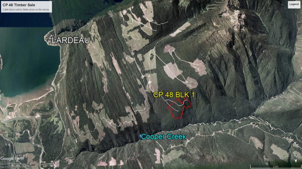
It has taken us some time to find a cable logger for this steep block, but Stella Jones has now signed a contract and started up their Silverton based logger “Iron Peak Logging Inc. ” in the first week of September. This block will yield ca 18,0000m3 of mixed species timber, and will not be completed prior to the winter, since we lost harvest time in this summer’s wildfire season.
Also on the Fall Schedule will be:

The western hemlock looper has historically not been a catastrophic forest insect in our Kootenay Lake landscape. The looper feeds on conifer needles and severely defoliates and in the process often kills all sizes of western hemlock and associated trees in western hemlock stands that are older than 80 years.
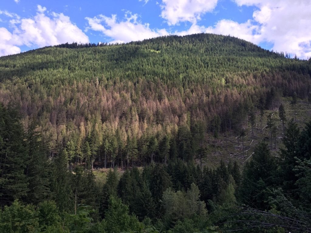
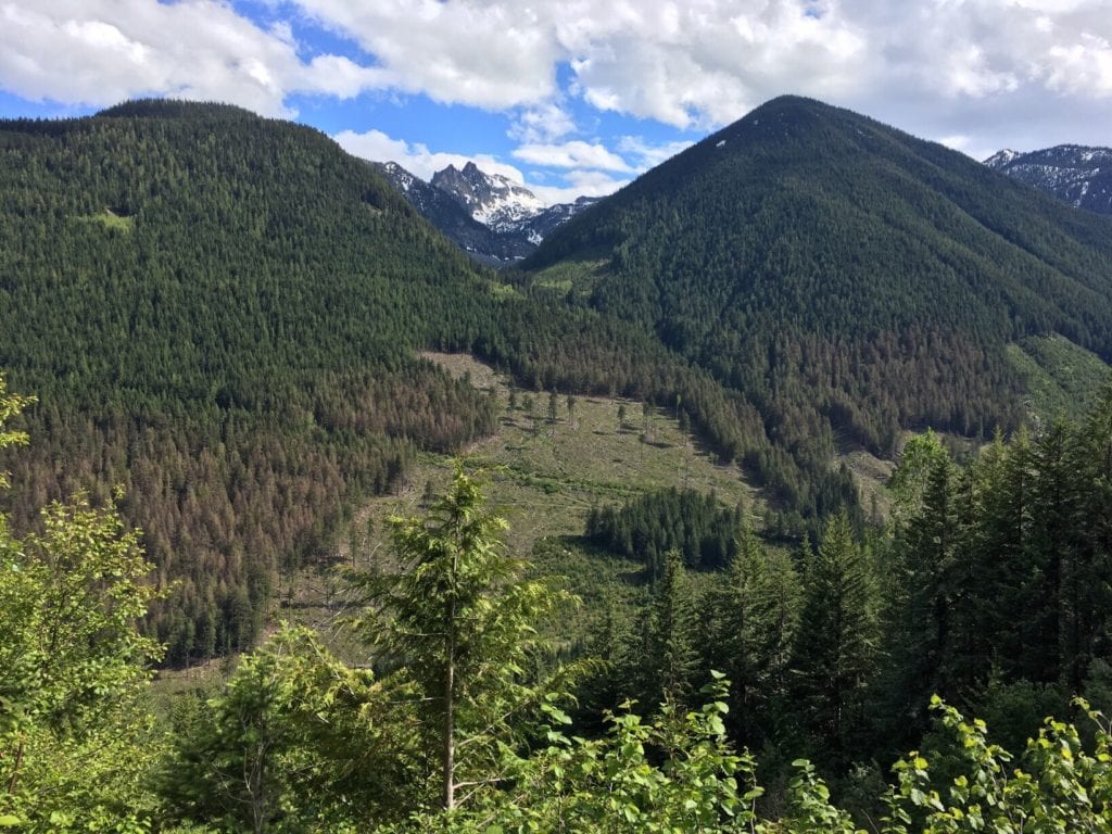
It also interacts with other agents, such as bark beetles, to cause tree mortality of defoliated trees. By causing topkill in all sizes of trees, L. fiscellaria lugubrosa contributes to the formation of unique limb structures and facilitates the colonization of living tree boles by stem decay. During outbreaks, high numbers of larvae pupae, and moths provide abundant forage for many species of birds and invertebrates.


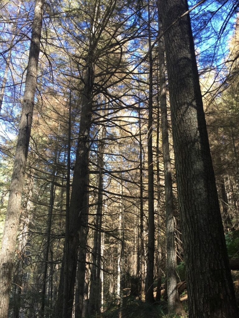
The tiny eggs of this species hatch over a period of weeks beginning in June. The looper larvae feed briefly on new foliage and then retreat to older foliage. The larger larvae are very messy feeders, moving about “nipping” foliage (which later dies) and, when disturbed, dropping from the trees onto undergrowth where defoliation is often heaviest. Although much of the defoliation by mature larvae occurs on older foliage, when this is gone new foliage may be stripped as well.
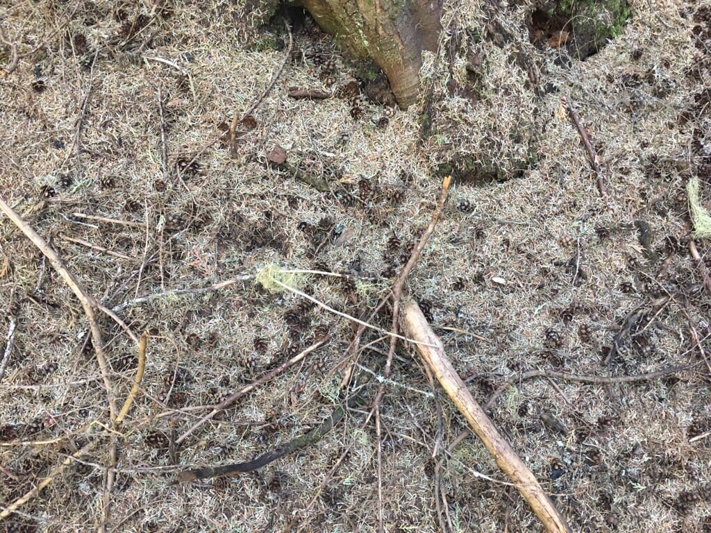
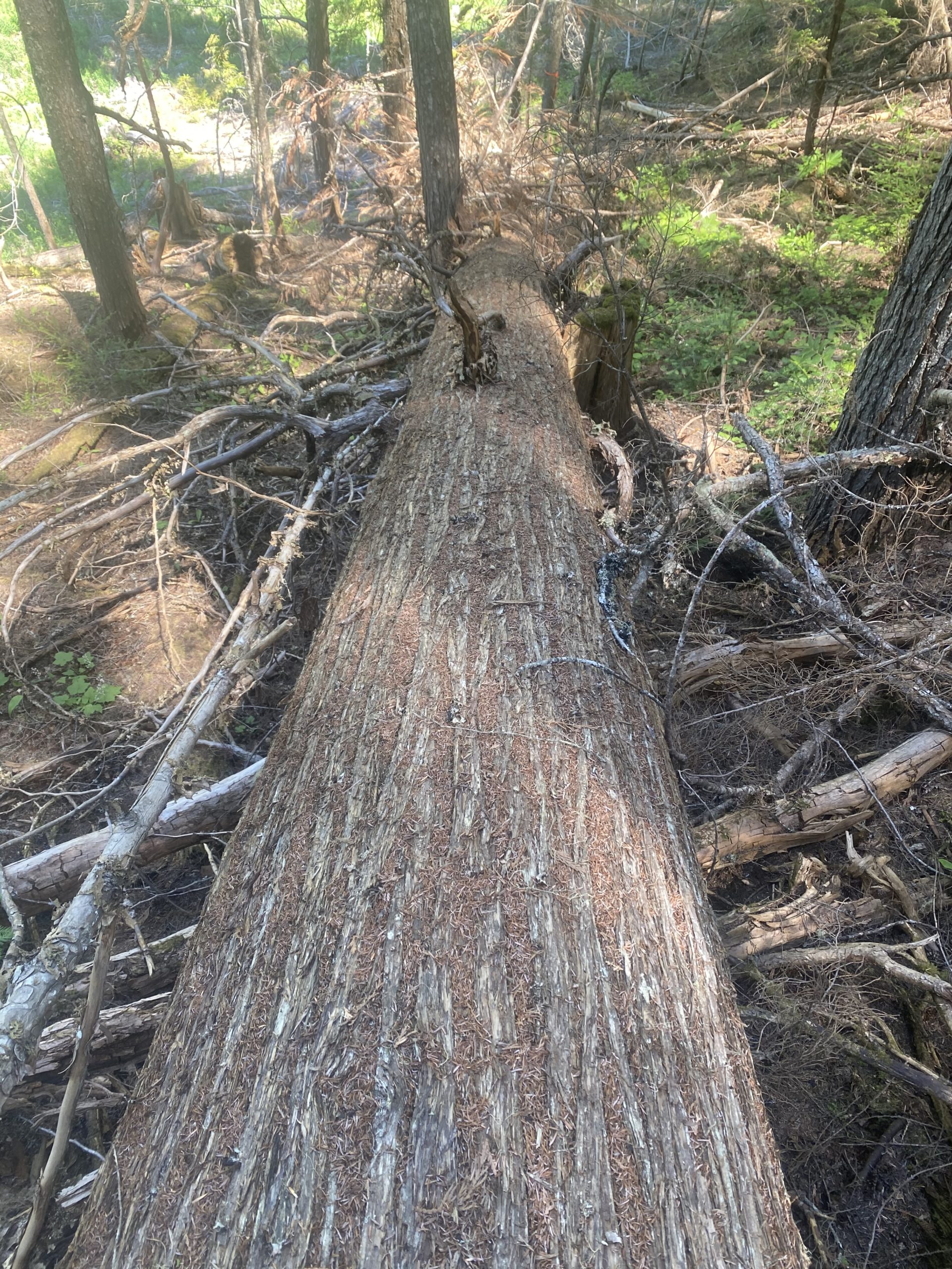
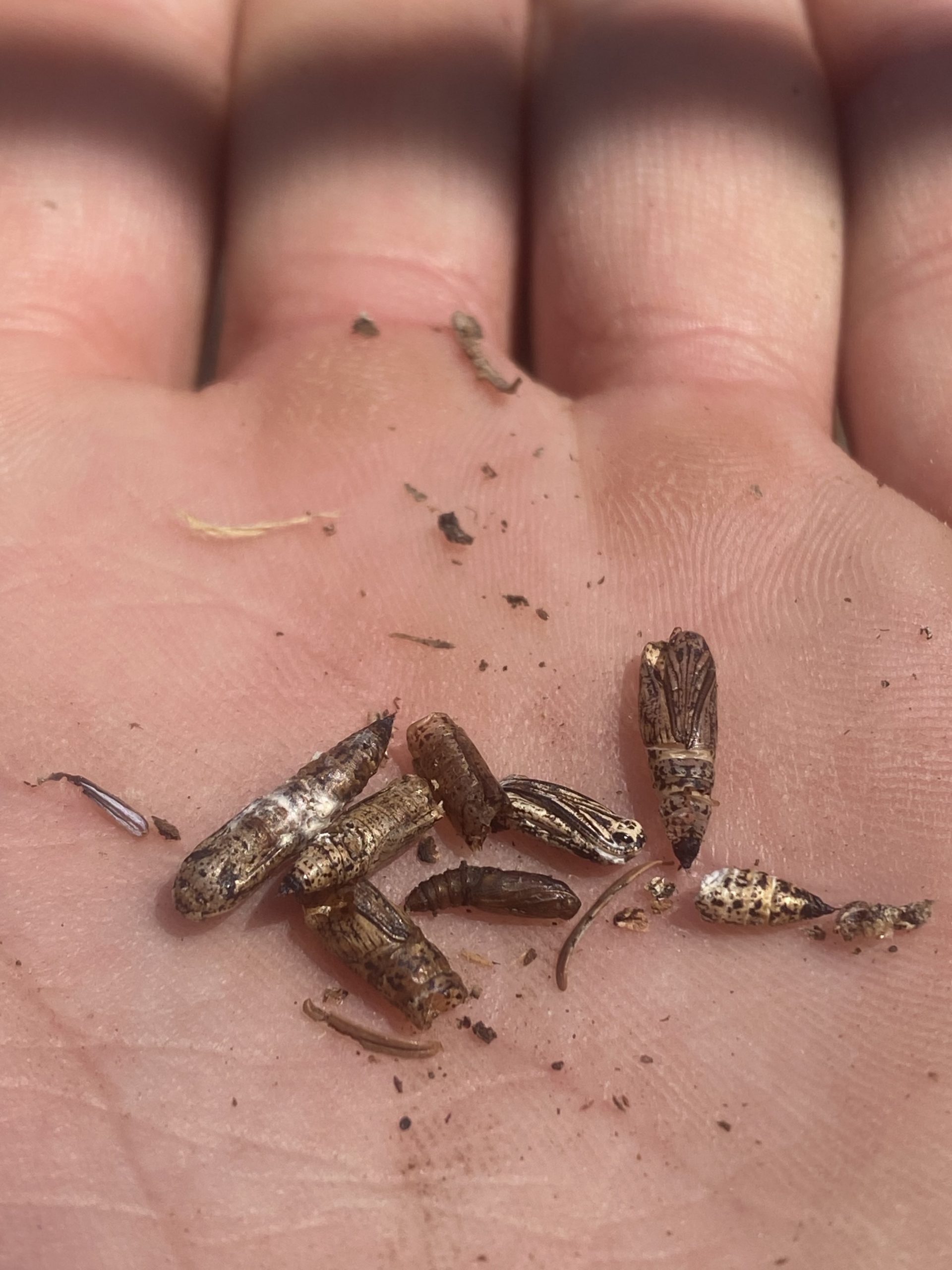
The ground beneath heavily infested trees may also be covered with a mat of “nipped” or partly chewed needles. In late July, larvae begin seeking out protected spots to pupate. The variable, brown and green, spotted pupa has no cocoon and is formed in cracks and crevices on the tree bole, objects nearby or in the litter. Mature larvae “spin down” on silken threads from feeding sites to lower branches and the ground during August and early September to pupate. During this time they may be found crawling over tree trunks and understory vegetation, and loose webbing may be abundant. Pupation occurs in trunk bark crevices, lichens, mosses, or ground debris, usually lasting 10 to 14 days.
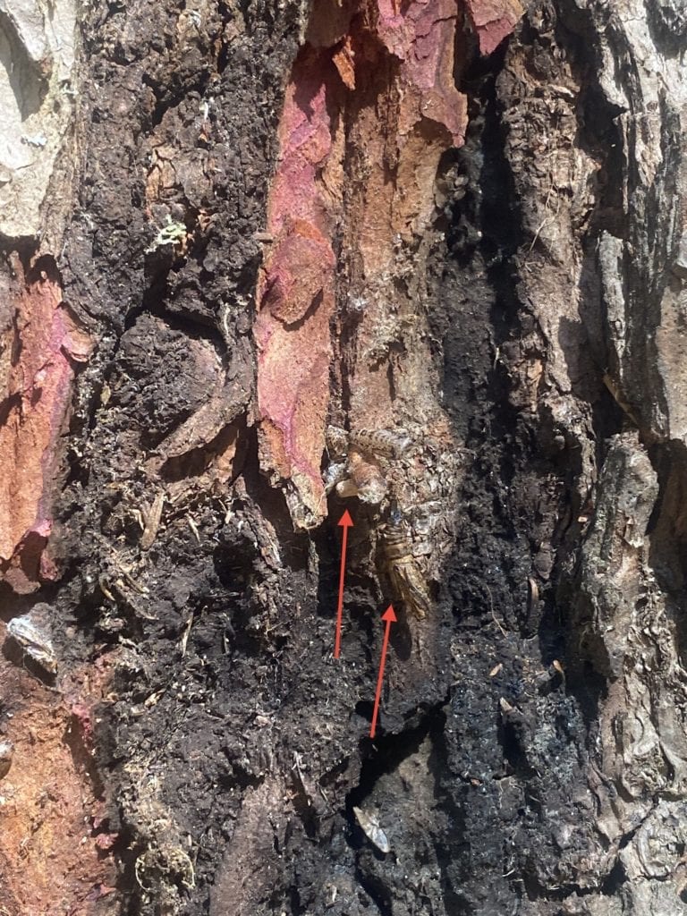
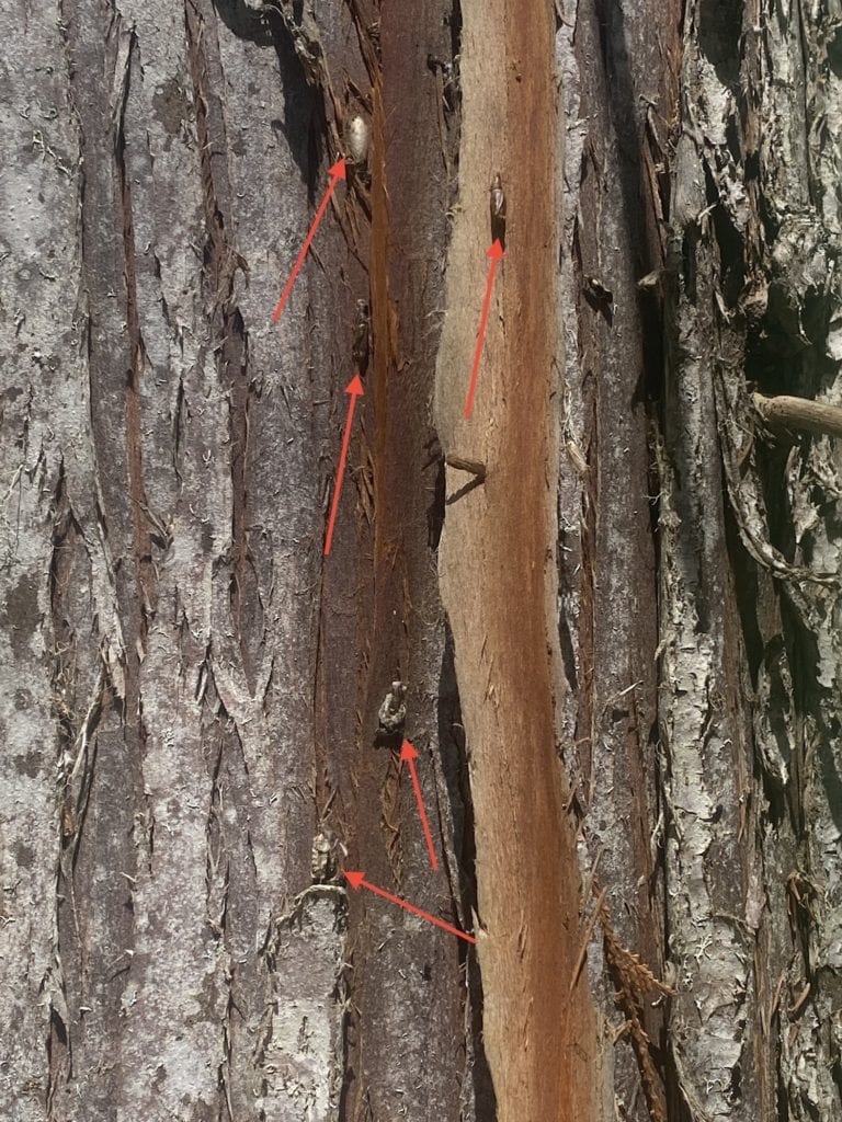
Adults generally fly in late August through early October, dying soon after mating and laying eggs.By mid-August, after a pupal period of 2-3 weeks, the frail, tan moths begin to appear and flutter about. In heavily infested stands it is not uncommon to find large numbers of moths resting on trunks of trees and on low deciduous vegetation. These fly readily when disturbed. Moths are present from mid-August to October. Mating takes place on resting sites and “coupled” pairs of moths often show different color variations. The very tiny eggs are deposited singly or in small clusters on foliage, twigs, bark, understory vegetation, debris or in the litter.
We conducted a license overview flight reconnaissance in the summer of 2020 and are relieved that some areas impacted by the looper last year recovered. We are however in the process of laying out a permit in Keen Ck which includes 50-60 ha of bug killed western hemlock forest to be salvaged between August and November this year. You can find more information in the Forestry Section soon.
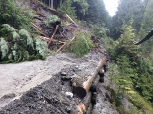
Approximately 30 percent of our tenure lies in the Keen Creek drainage. Access is from Hwy 31A, through the South Fork community. The steep and narrow valley runs roughly North / South – which means that the sun reaches the narrow valley floor only briefly during the day, when right overhead. It’s a fabulously shady place on a hot summer day, next to glacier-fed Keen Creek, the old Cedars, devilsclub and moist moss. You can inspect the springboard notches left in giant old stumps from a long time ago.
But it’s the winter and spring that amplify the deep-freeze qualities in the valley floor, when the sun is low behind the snowy mountains and fails to make its brief visit overhead. While mountain tops are bathed in the spring sun, its rays are melting the white slopes in the high and mid elevations and turn the tap on for a wild spring freshet rushing down into the dark valley bottom where the road and ditches are still covered under 3 feet of snow and ice. The water comes down the steep slopes with a force, some of it going underground, shooting up through the road surface and adjacent forest floor in geysers.
This reversal of climate in itself would be bad enough, but geology brought soils high in silt into the mix. Silt rubbed between the fingers feels very fine, floury when dry, slippery-soapy when wet, non-cohesive….. and there you have it.
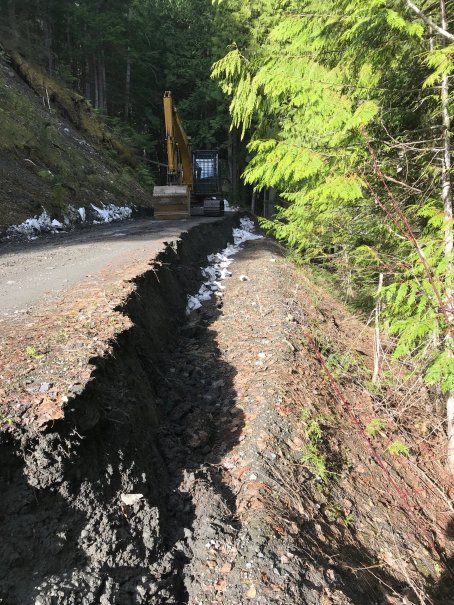

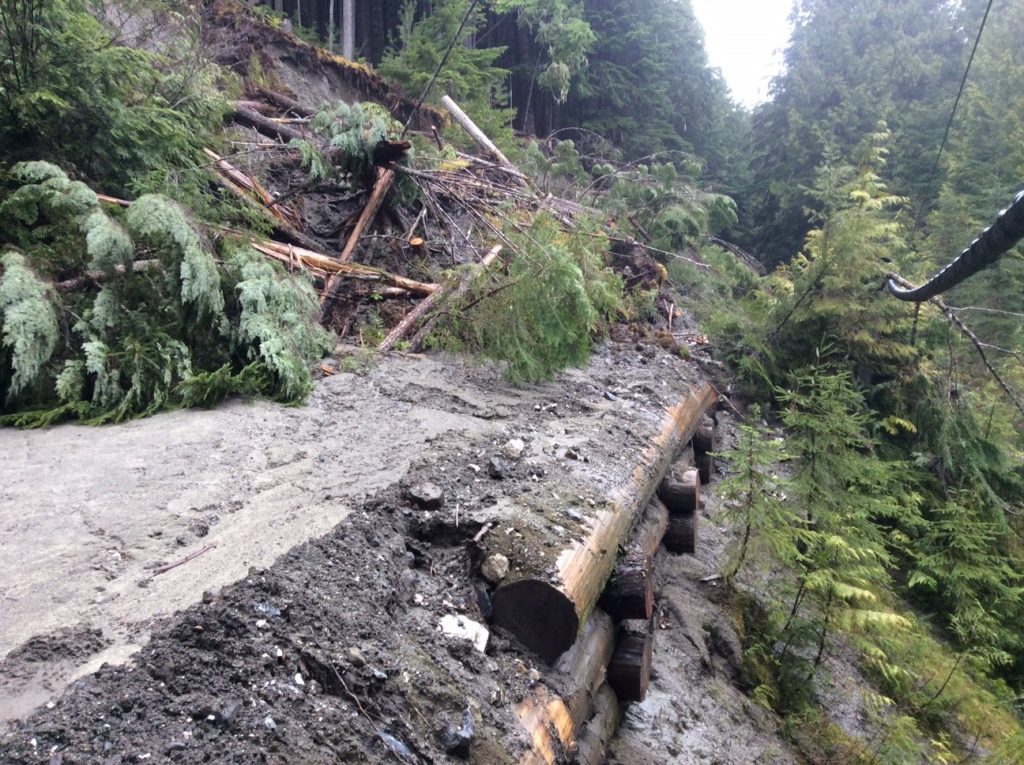
We had spent well over $200,000 in 2015 upgrading unstable sections of the road with log cribbings (such as in the photo above) and bridges. During the spring of 2018 we spent $25,000 maintaining access into this valley to plant trees, including almost daily shovel work to manage water. We commissioned a geo-technical report over the summer with hopes that upgrades and additions of additional drainage structures and careful maintenance may make the road manageable for the future. We were able to install some, but not all recommendations from this report due to a delay in construction equipment and winter settling in. Works included 13 additional culverts, ditching and in-sloping of the road in difficult sections at a cost of $15,000. Recent Keen works were done by Shane McKinnon and Ron Jardine.
