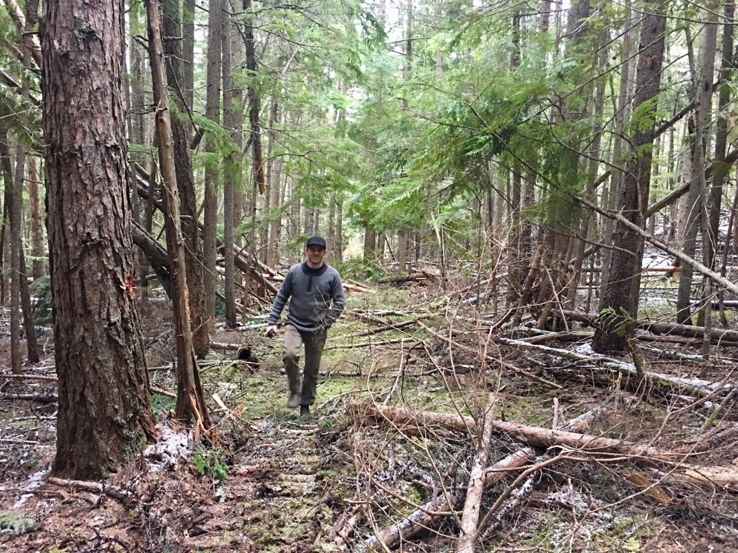
Shutty Bench
This small management unit meets the backyards of the small neighbourhoods at Shutty Bench, Milford Creek, and Schroeder Creek. Topography is mostly defined by heavily glaciated and cooler, east trending slopes of the Kootenay Lake shoreline. It is exposed to northerly and less frequently to stronger or gusty southerly winds channelling along the lake. In the North it abuts the license area of Kalesnikoff Lumber Ltd, which divides the KDCFS license into two spatially separate polygons. The western boundary follows the high ridge from Mt. Buchanan North to Milford Peak. The neighbourhoods below are dependent on domestic water licenses which are fed by steep and deeply incised creek draws and percolating springs. Road access and forest management is highly restricted by these steep slope features and other resource values, requiring predominantly cable harvesting systems.
Additional Interactive Maps:
*Links open in a new window/tab.
Resources:
| Title | File Type | Date | Categories | Link |
|---|---|---|---|---|
CP 42 BLK 7 Site Plan Map | May 12, 2021 | Shutty Bench | ||
CP 42 BLK 5 Site Plan Map | May 12, 2021 | Shutty Bench | ||
CP 42 BLK 4 Site Plan Map | May 12, 2021 | Shutty Bench | ||
CP 42 BLK 3 Site Plan Map | May 12, 2021 | Shutty Bench | ||
CP 42 BLK 2 Site Plan Map | May 12, 2021 | Shutty Bench | ||
CP 42 BLK 1 Site Plan Map | May 12, 2021 | Shutty Bench | ||
FSP Map K3C Shutty Bench | June 6, 2019 | License Documents, Shutty Bench |


