Cooper-Davis
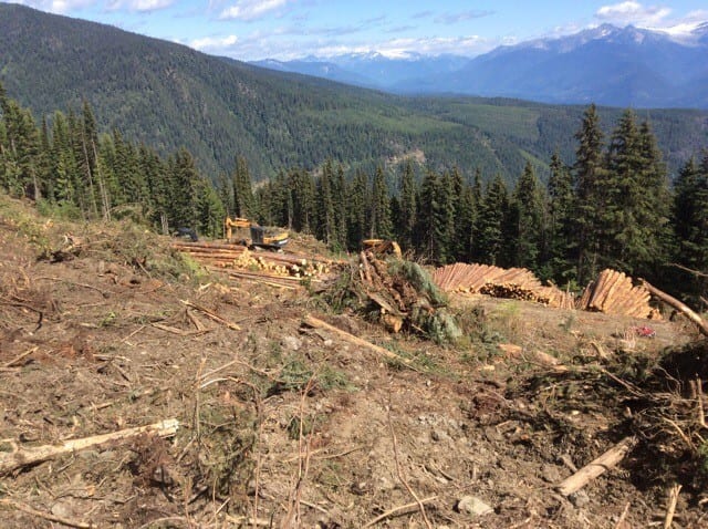
Lost Ledge and the Cooper Face plateaus have an extensive wildfire and logging disturbance history and hold mostly inventories of immature timber. The moderately sloped and partially conventionally accessible landscapes account for another roughly 40 percent of the license area. These plateaus have Eastern, cool exposure and marginal soils grow western hemlock, western cedar, Engelmann spruce and subalpine fir timber types. This unit abuts to the Cooper Creek Cedar license in the North and the small neighbourhood of Cooper Creek.
Additional Interactive Maps:
*Links open in a new window/tab.
Resources:
| Title | File Type | Date | Categories | Link |
|---|---|---|---|---|
CP41 BLK 4 Site Plan Map | May 12, 2021 | Cooper Davis | ||
CP 41 BLK 3 Site Plan Map | May 12, 2021 | Cooper Davis | ||
CP41 BLK 2 Site Plan Map | May 12, 2021 | Cooper Davis | ||
CP 41 BLK 2 Logging Plan Map | May 12, 2021 | Cooper Davis | ||
CP41 BLK 1 Site Plan Map | May 12, 2021 | Cooper Davis | ||
FSP Map K3C Cooper-Davis Creek | June 6, 2019 | Cooper Davis, License Documents |


